
Reed Lakes
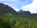

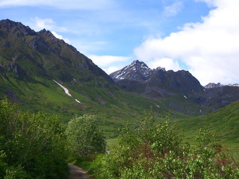
View of the valley from the trailhead
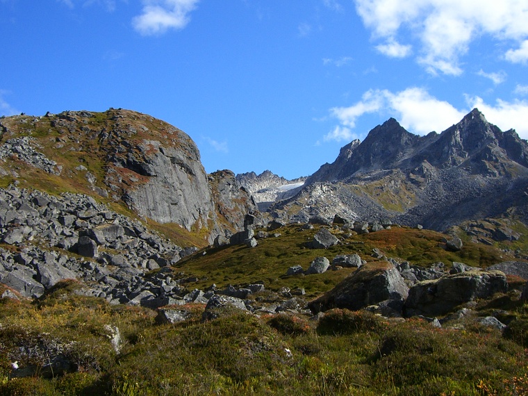
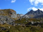
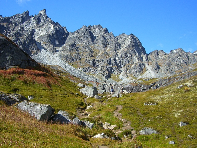
After passing the mine ruins, the trail heads uphill through this rocky section.

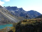
A buddy of mine, Souane, with Lower Reed Lake below. The lake first comes into view at a lower spot then what you see here.
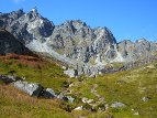
Waterfalls can be seen in the distance. My friends Travis and Jennifer can be seen in the background.
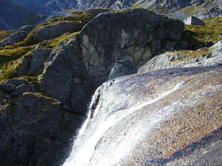
A close-up view of the waterfalls
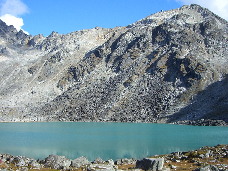
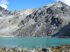
Upper Reed Lake. Glacial silt produces the lake's vibrant turquoise color.
Trail description:
The Reed Lakes trail leads to 2 glacial lakes nestled in the heart of the Talkeetna Mountains. The tail starts from an unpaved parking lot and makes it's way through a valley surrounded by granite peaks. Eventually the ruins of an abandoned mine, Snowbird Mine, will be reached at about the 2 mile point. After passing the ruins, the trail will head uphill over a series of switchbacks. Eventually it traverses rocky pass that entails a fair amount of bolder-hopping. The trail can be hard to follow here, so stick close to the stream when possible. A small marsh will then be passed on the right, followed by another series of switchbacks. Shortly after tackling this second major uphill portion, Lower Reed Lake will come into view. A few small streams will need to be crossed from this point on up, some of which result in scenic waterfalls which cascade over the cliff faces nearby. The last portion of the trail is rather easy-going stretch before reaching the final destination, Upper Reed Lake.
Difficulty:
Overall pretty moderate. The uphill portions are usually separated by easy going stretches. The roughest section is the bolder hopping around the middle of the trail, which requires some careful foot placement.
Directions:
Take the Glen Highway north from Anchorage, and follow the bend towards Wasilla. Shortly after the Palmer/Wasilla exchange, take the exit to Trunk Road, then head right. Stay on this road until it eventually 'T's onto Palmer Fishhook Road. Take a left, and head north into Hatchers Pass. Follow this route for about 14 miles until you find a turnoff onto a dirt road on the right, marked for Archangel Valley. Follow this route until just after passing Archangel Creek, and you should find a parking lot with a sign marked for the Reed Lakes trail.
Additional Information:
An optional adventure is to hike over the ridge beyond Upper Reed Lake; the remains of a B-29 bomber can be seen on a glacier, where it crashed in the late 1950s.